Showing posts with label dennis. Show all posts

Friday, February 18, 2011

Downtown Greenville


Greenville, SC. If you live within 3 hours of this city, and have never been, you're missing out. Here's my recommendation: Pick either a spring or fall weekend, when the high won't exceed 85. Pack up your favorite picnic meal. If you have a bicycle, load it up, and head downtown to Reedy Falls Park. The bike trails take you through a network of connected parks from Reedy Falls all the way over to the Greenville Zoo and beyond. You can even link up with the Swamp Rabbit Trail and pedal over to Traveler's Rest, if you're looking to experience something a little more rural (if you do take this option, be sure and stop by Sun Rift Outfitters. It's an awesome outfitter store locally owned and operated). To really appreciate it, take some time and look up this history of Reedy Falls Park AFTER you go. The "before & after" stories will amaze you!


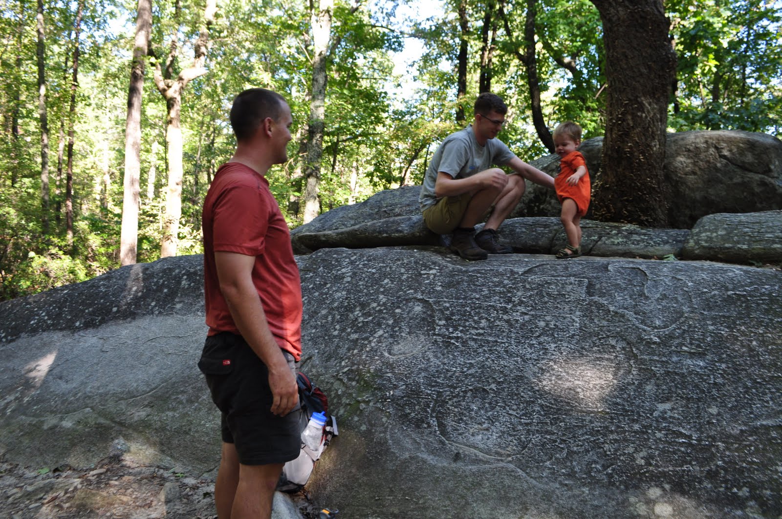
Usually when we are in Greenville, we are spending a night or two at the Dennis House, using it as a basecamp for hiking trips. This time, we made it a point to go hang out and NOT hit the trails. All of our visits usually end with a quick trip to the park in town. Everytime we go we end up wishing we had spent more time in town. So that's exactly what we did this weekend. After church, we swung by Greenville Tech and picked up Yosry, the Egyptian exchange student the Dennis's are hosting, and headed to Reedy Falls Park downtown to meet up with Pat and Jack, some local friends of theirs. The weather was perfect: low 70s, a light breeze, and not a cloud in the sky. We snacked on some sandwiches and spent a couple hours just lounging. The place was actually quite crowded with families enjoying 2011's first true spring-like weekend. I think this only added to the atmosphere. Kids were running around having a great time with other kids they had never met while the parents kicked back.


Gabriel found some other kids to play with, and ran around non-stop for about 3 hours. Finally, at around 4, we packed up and headed back to the Dennis House so Gabriel could take his nap. I treated our hosts to a steak dinner for Valentine's day, and we ended the day watching "Date Night". The next morning we woke up and headed off for the zoo. Now, Greenville Zoo isn't exactly going to knock your socks off, but its a charming little zoo nonetheless. It's also not going to hurt your wallet as much as other zoos might. $6 for adults seems pretty fair, considering Zoo Atlanta runs you $21.99. There are a series of playgrounds just outside tailored to kids of all age groups. And as mentioned before, it's connected with all the other Greenville parks with a nicely maintained bike path.


I could list out all the major attractions, but I'll just post the pictures. Not pictured, but worth mentioning, is a decent reptile/amphibian exhibit, and an alligator/alligator turtle exhibit. There was a special little surprise for us waiting right at one of the first exhibits. One of the monkeys had just had a baby in January, and the newborn was clinging to her swinging around in the cage.


(As you can tell, some animals warmed up to the camera a little more than others)

And after a big scare where I thought I lost my wallet, we packed up hit the road. A quick stop at Chipotle to spend a Christmas gift card that had been burning a hole in my wallet, and the trip was complete. If you're looking for a family friendly city in the Southeast, trust me, Greenville will not disappoint you.

Wednesday, November 3, 2010

Another Smokies Hit!


Can you do an over-nighter in a back-country shelter in the Smokies in October? Sort of. As a part of David's pre-departure checklist (he and Holly are getting ready to move out to the West Coast), we were going to tackle Mt. LeConte via Alum Cave Trail. The plan was to go up, stay the night in the shelter on top of the mountain, then hike down the next day via the Boulevard Trail and the AT. I knew it was going to be hectic. Alum Cave and Mt. LeConte are two of the Smokies' biggest attractions. October, outside of the summer rush, is the busiest time of the year for the park. All of the "leafers" come rushing in to see the changing colors, and of course, LeConte is usually high on their list of sites to see.


We gave the reservations office a call, and sure enough, they had handed out the last permit for Mt. LeConte a few weeks ago. We made a decision to go anyway, and see if we couldn't get away with squeezing into the shelter anyway, on the hopes that someone with a reservation wouldn't show up. After we arrived at the trailhead, that idea quickly went out the window. The parking at the trailhead was comparable to Wal-Mart on Christmas Eve. It was packed. We knew there was no way we would squeeze into the shelter. On top of that, the hike up the mountain would probably be like standing in a line at an amusement park.


With that in mind, and after some deliberation we.... well, we couldn't really come up with anything. Our options looked pretty bleak. With a quick stop at R.E.I. on the way up, we were already running about an hour and a half late. We considered just doing a day hike, and maybe staying at a hotel, but even a day hike would have us competing with the setting sun. We decided to head down to the visitors center and talk with a ranger.

Traffic was pretty much bumper to bumper, but that didn't put too much or a damper on the scenery around us. When we got to the visitors center, it was insanely busy. We made our way to the reservations office, and I asked if there was anywhere in the entire park where we could get a permit. Luckily, there was ONE shelter left that had exactly four spots left. We snatched 'em up, and hit the road.


The hike started at Clingman's Dome, the highest point in the park. This is the KING of tourist traps in the park. The "trail" that leads to the top is an asphalt-paved walkway about the width of a one-lane road. You walk right past a gift shop before reaching a huge, hideous, spaceship-looking observation tower. The Appalachian Trail, which is where we were headed, passes right by the tower. The crowds were obnoxious. I get emotionally torn in situations like these. In one sense, I'm always happy to see people getting out and enjoying the fresh air in some way. Walking up a paved trail to a concrete observation tower certainly beats setting at home all weekend watching TV. The sad part is that, most of those folks think that this is the ultimate outdoor experience. At this particular location, the sad irony of that is highlighted even more because the pinnacle of American outdoor experiences, the Appalachian Trail, passes right through here. If any one of those tourist would walk in either direction on the AT, they would be rewarded with the same amazing views they got from the observation tower, only without bumping elbows with hordes of people.


It was slightly entertaining walking up the paved "trail" on the way to the AT. Some people were pointing saying, "Look! professional hikers!". A couple of guys were asking all about our trip and where we were going and what we were going to eat, and what we were going to do if we saw a bear. It was almost a celebrity moment. We were adding to their tourist experience, allowing them a chance to see "real hikers".


We got to the AT junction and made a left (south). Our destination was the Siler's Bald shelter. It didn't take long before we were smacked in the grill with awesome panorama. David was really looking forward to get out on the Boulevard Trail, mainly because of what I told him about my hike there in April 2009 (See blog post). I told him about the ridge hike and its awesome views. We thought we were going to miss out on that, but the AT lived up to the accolades.


It was a 4.6 mile hike down a ridge that runs from Fontana Dam, up to Clingman's Dome. With the exception of about a one mile stint through a stand of evergreens, the entire hike had exposed views of either the Tennessee, or North Carolina side of the park, and in some places, both. The North Carolina side was filled with ridge after ridge of Smokey Mountain glory. You can also see slivers of Fontana Leak snaking around the base of some of the ridges. The Tennessee side, while still quite breath-taking, is still pretty epic. The mountains flatten out into the flat plains of the mid-west, and you can see the sprawl of Gatlinburg and Pigeon Forge below. Being so high up, you can even see the curviture of the Earth.


At 2.2 miles we came to Double Spring Shelter. This shelter had obviously recently been renovated. it looked extremely cozy. Even at 5:00, it was already filling up. We would find out on our hike out, that Double Spring Shelter hosted 14 guests that night, two more than its capacity allows. A couple of guys had hiked in a hand saw, and were cutting up some hearty firewood and getting a nice fire going in the built in fireplace. We had a quick snack and kept on trucking. Aside from breath-taking views, the hike in was pretty un-eventful. We ran into a big fresh pile of bear evidence about a mile from the shelter, but no actual sightings. Best of all, when we got to the shelter, we found out we were sharing with a father and son, and that was it. No big crowds.


We got settled in. Matt, the youngster we were sharing the shelter with, had already gather up some firewood, so I got to work on that immediately. We prepped some food and spent the rest of the night literally laying on the ground staring up at the stars. Night time was extremely windy, but we stayed north of freezing temperatures. The shelter's trail log was filled with horror stories about the mice (as is the case with almost all AT shelters), but we didn't have any issues.


The next morning we lounged around, taking our time getting packed up. We waved off Ron and Matt. About an hour later we departed, too. Usually the return hike, when doing an out-and-back route, is kinda lame. This time, the views were still just as grand. We caught up to Matt and Ron at the Double Spring Shelter, and had lunch. Shortly after that, the crowds started picking up again, and before you knew it we were back at the paved trail. We went up and had a peek from on top of the observation tower. The wind and the crowds made it a less than desirable experience. We loaded up and headed home, stopping at Texas Roadhouse in Asheville to top it all off. ...NEXT!

Wednesday, October 20, 2010

Table Rock... again!


This month last year, David and I braved some nasty weather and hiked up Table Rock . When we got to the top (well, near the top, actually), the clouds parted long enough for us to take in some amazing fall scenery. It's certainly the best mountaintop scenery I've enjoyed on the east coast.


This time around, we went up about a week ahead of the leaves changing, so the fall colors weren't quite there, but neither was the fall rain. We also brought along some company. David's wife, Holly, made her second Table Rock climb and I was lucky enough to be accompanied by the entire family. By "entire," I mean my wife, Laura, and 16-month-old Gabriel.


We drove straight from Augusta to Table Rock State Park, arriving around 3:30, an hour behind schedule, which is customary when traveling with David, and ended up not actually getting on the trail until around a quarter to four. The issue with the later time was that Gabriel would be approaching bedtime before we could make it down off the mountain and we had no idea how he would handle being stuck in a baby carrier while his eyes got heavy. Of course, we also had no idea how he would enjoy being stuck in a baby carrier for the hike up the mountain either.


As has been the case on all our other outdoor adventures with the little man, he was perfect. When he gets outdoors, his wheels stop turning quite as fast, he calms down, his eyes get big, and you can tell his little mind is just taking in all the scenery around him. This trip was no different.


About an hour into the hike, we stopped at a large boulder beside the trail to take in some water and let Gabriel stretch his legs. David hopped up on the boulder to find a seat and the little toot headed up after him. This was a solid granite faced boulder that had a very steep grade, but he got about half-way up the 6 to 7-foot face before realizing that he was climbing on his own. Crazy little kid!! David's mom always jokes with me that because I introduced David to backpacking, I am also responsible for his rock-climbing hobby (which I completely refuse any responsibility for). Now I tell her that her son taught MY son how to rock climb, so we're even.


We loaded back up and headed up the trail. After about a half hour we came to the gazebo that marks the approximate half-way point. Near the gazebo is an exposed rock face that you can safely walk out on, giving you your first hint of Table Rock scenery.

Already running a little behind schedule, we didn't spend too much resting. With just another couple of minutes climbing, we would be at Governor's Rock. This is the place that David and I had to stop last time due to time and weather constraints. I was looking forward to going back and letting Laura and Gabriel experience the views, although the colors weren't quite popping yet.


We plopped down and let Gabriel run around and much as safety would allow. We took some pictures, drank some water, and snacked on some trail food. Again, we were in quite a race with the sunset so we didn't hang around long because I was anxious to make it all the way out to the nose of Table Rock.

After hitting the trail again, we crossed paths with a four foot rat snake. It was quickly making its way across the trail. If nothing else, it was fun to see David's fear of snakes manifest itself for a quick second. We kept moving and after crossing the official summit of Table Rock, we came to what they call "the nose."


The extra effort was certainly worth it. The views of the lake below and the landscape stretching out into the South Carolina Low Country was awesome. But again, as our race against the setting sun continued, we had to pack up fast and make a hasty retreat down the mountain.


We headed down at a much faster pace, but it was obvious we were not going to make it down before the sun set on us, so we divvied out the headlamps and anxiously awaited Gabriel's fussiness from riding in the carrier at night. Come to find out, as long as he had a handful of crackers, he was as happy as could be riding on my back. He never got fussy. He never wanted down. He was enjoying every second of the hike. The last 15-20 minutes of the hike were with headlamps on, hiking in the dark. Still, Gabriel didn't make a peep. At this time of day he would normally be having a bottle of milk while getting rocked in preparation for bedtime. He was just as content holding on to a handful of crackers hiking through the night!

We made it back to Hotel Dennis and, as always, enjoyed a weekend spending time with the entire Dennis family (despite Texas losing to Oklahoma the following Saturday). Now, Gabriel has added a second patch to his lil' pack! He'll be out of room for patches before you know it!

Thursday, June 17, 2010

1 Down- 98 to go!

The countdown is on!!! the first trail has officially been marked off the list.

RIM OF THE GAP TRAIL

This was my selection for South Carolina. It is located in Caeser's Head State Park in the upstate area, of course. The BACKPACKER Nation selection (Raven Cliff Falls Loop) is also located in this state park. David and I have been out to this park a couple of times. Although my experience within the boundries of state parks is limited, I haven't been to one in the south east that has a better trail system than this one. If you throw in the very closely neighboring Table Rock State Park, I think its the hands-down winner. I've decided that my blog should be more photo's and less words, so I won't get into too much detail about the trip.

The Rim of the Gap trail is considered very technical, and gets a lot of mixed reviews from local hikers. A lot of people love its difficulty for two reasons. First, they love that it scares off most day hikers, keeing the trail traffic low. Second, they just love the challenges it offers. But some people hate it for that same reason. Rarely does anyone argue the scenery though. I can say that I was blown away by the trail. We were on a strict time limit to be back in Greenville for dinner, but I blew that because, for the first mile of the trail, there was waterfall after waterfall, and huge exposed granite faces. You could tell that during the winter months, views of Jones Gap below would be stunning. Even in full foliage we got some pretty awesome vistas. This trail was certainly no let down. Simply put, it was jaw-dropping.

For more information on Rim of the Gap, and other Caeser's Head trails, check out their website.


This is the overlook platform that is located a short walk from the Caeser's head visitor's center. Its an awesome place with amazing views of neighboring mountains, including Table Rock.


This is one of many small trickling waterfalls cascading over exposed granite faces. There are probably close to a dozen in the first mile of this trail.


....and again.


and again...


.and again. There were tons of opportunies for great pictures, but I had already slowed us down substantially with all the picture taking.


This is just one of many "technicalities" you have to maneuver while on the trail. I felt they were well maintained and as safe as they could be.


This shot gives you a little perspective on how the trail was truly skirting the rim of Jones Gap


More granite and running water.


The hardest thing was trying to get a good picture that showed just how big and imposing these granite faces where.


One of the reasons I thought this hike was the perfect SC hike was, after negotiating the trail as if skirted the upper rim of jones gap, for the last section, like walking into a new geographical region, you were back on typical Carolina terrain; an old logging road converted into trail. This was where the spine of the ridge flattened out, heading into Jones Gap State Park


There were well-placed man-made objects to help with the difficult terrain throughout the trail, but this one gave me a laugh. David had been talking about this "cable repel" for about an hour before we got to it, really making it sound like a dangerous undertaking. It, infact, was nothing of the sort.


And just when I thought the hike couldn't get any better, it did. The Rim-of-the-Gap trail ends at Jones Gap State Park. This park and Caeser's Head State Park share the same trail system, but have visitors' centers located at opposite ends. This entire area is called the Mountain Bridge Wilderness. Its an absolute must for any hiker looking to spend some time in the Souch Carolina portion of the Appalachian foothills.

At this point, the trail brings you down to the park visitor's center, and the Middle Saluda River. Again, if it wasn't for our time crunch, I could have spent every hour of daylight taking pictures of the scenes at this park. But we were running well behind schedule at this point. Without much delay, we filled up our water bottles, and used the Jones Gap trail, along with a couple of small connectors at the opposite end, to make our way back to the car.


The picturesque park office at Jones Gap, which is open from 11 a.m. to noon... seriously.


The Jones Gap Trail follows the Middle Saluda up the valley floor. After about an hour, you come to the very short spur trail for Jones Gap Falls. It's a really nice waterfall cascading about 65-70 feet, I would guess. The only frustrating thing about this waterfall was, no matter where I took the picture from, the waterfall came out looking like it was maybe 20 feet tall.


More Jones Gap Falls.


At this point in our trek, I really put the camera away for the most part, because we were all but sprinting back up the trail. The humidity from a passing storm system was really thick, and we were in a hurry! But the valley floor was really awesome. The trail was in great condition, following an old logging road grade along the banks of the river.


This is towards the end of our hike, where the trail finally left the river, and headed back up the valley wall to meet up with the connector trail.


(I have no idea what kind of flower this is)


This ones the last footbridge, over a small stream as it dropped into the Saluda River


We finally met up with the connector that took us from the Jones Gap Trail back to the parking lot. (And we made it in record time!)


And we're back. We both talked on the way home how we wish we would have gotten to the trailhead about 4 hours earlier, so we could have really taken our time on the hike. Even with the time crunch, it was one of the better day hikes I have done. As far as South Carolina goes, this is as goos as it gets. I think the readers of BACKPACKER avoided voting for this trail because of the technical portions. I would agree that, even as an experienced hiker, you shouldn't go this one alone (and thats coming from someone that does most of his hiking alone). Be sure to find a trail partner before you try and tackle this one. And, while I am sure the views of the gap are way better during the winter, it there is any risk of ice, stay away from this trail. But if the conditions are ripe, this trail is worth the undertaking.


Well, the competition is underway, and its out of the gates with a bang! I've debated exactly which trail to get started with. Being that I currently reside in Georgia, I thought maybe the two GA trails would be the most fitting start. I also considered started in North Carolina, in the Smokies, one of our nations true hiking Meccas. But now that its done, its hard to imagine a better start than this one. The bar has been set, and its high!